|
|
|
|
|
|
Maya Terrain Authoring Tool
TerrainIt is an authoring tool for generating mountainous terrain mesh.
Co-author: Shutong Wu
Reference: Orometry-based terrain analysis and synthesis. Argudo, O., Galin, E., Peytavie, A., Paris, A., Gain, J., & Guérin, E. ACM Transactions on Graphics (TOG), 38(6), 1-12.
Objectives
- Generate Real World Mountainous Terrain in Maya
- Targeted at realism which requires complex orometrydata
- Procedurally generate real world scenery with easy GUI control
- Features Include:
- User-Friendly GUI that allows multiple controls
- Display divide tree and generated heightmap
- Optimized smoothing techniques
- Output the selected orometry in a mesh format
Workflow
-
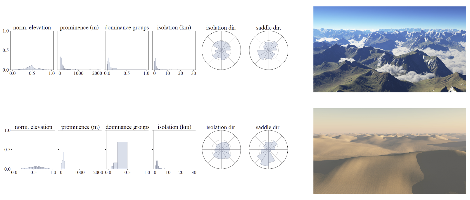
User selected a orometry preset. Orometry can describe various terrains on Earth.
-
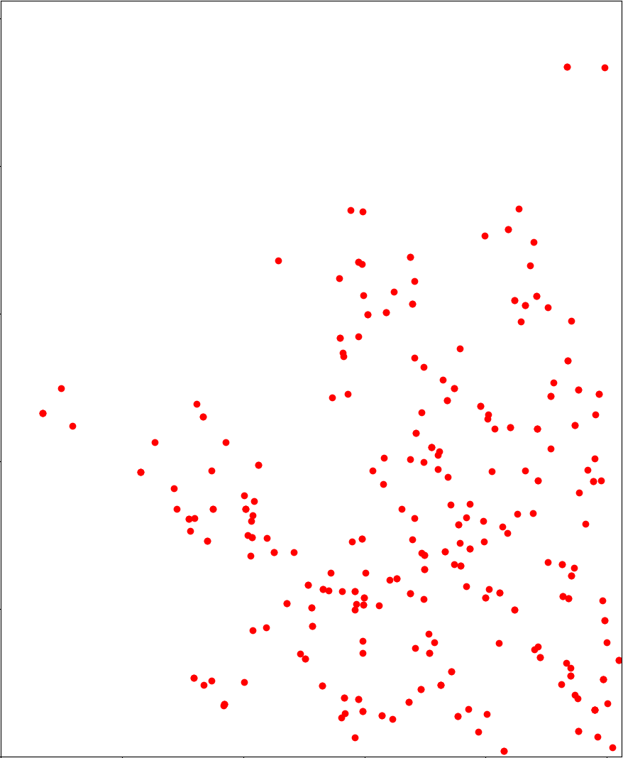
Randomly sample peak locations while maintaining the distrubition patterns defined by the orometry data. KNN is used in this step for fast query of existing peaks.
-
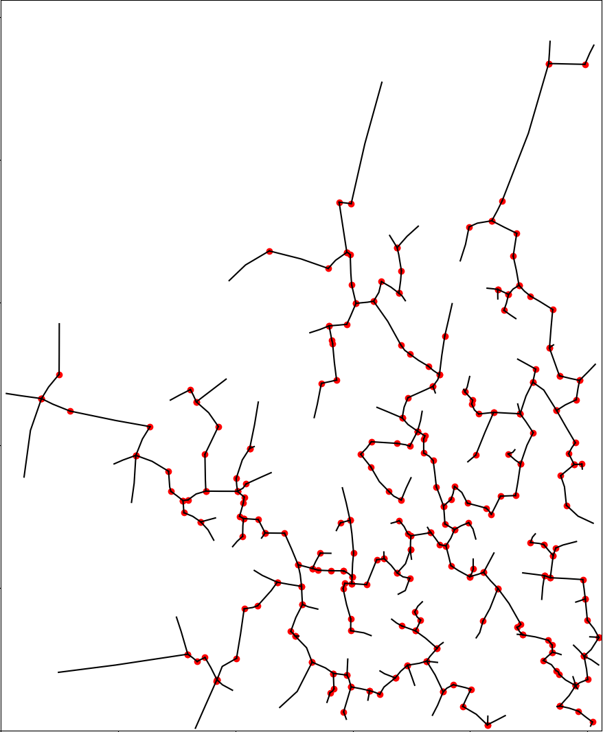
Connect the peaks with Delaunay Triangulationton and generate ridge lines as Minium Spanning Tree of the triangulation network.
-
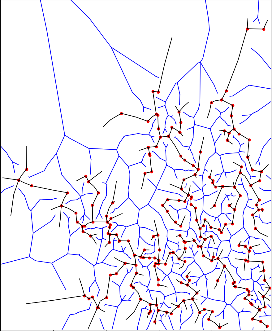
Generate the river network using the Dual Graph of the MST.
-
Smooth out the lines using splines. Discretize and assign height values based on the orometry data.

-
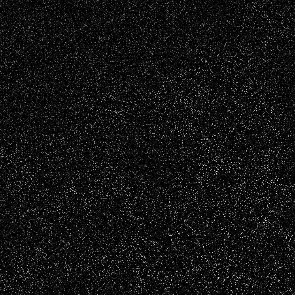
Use blue noise to fill out the remaining areas. The height values are interpolated.
-
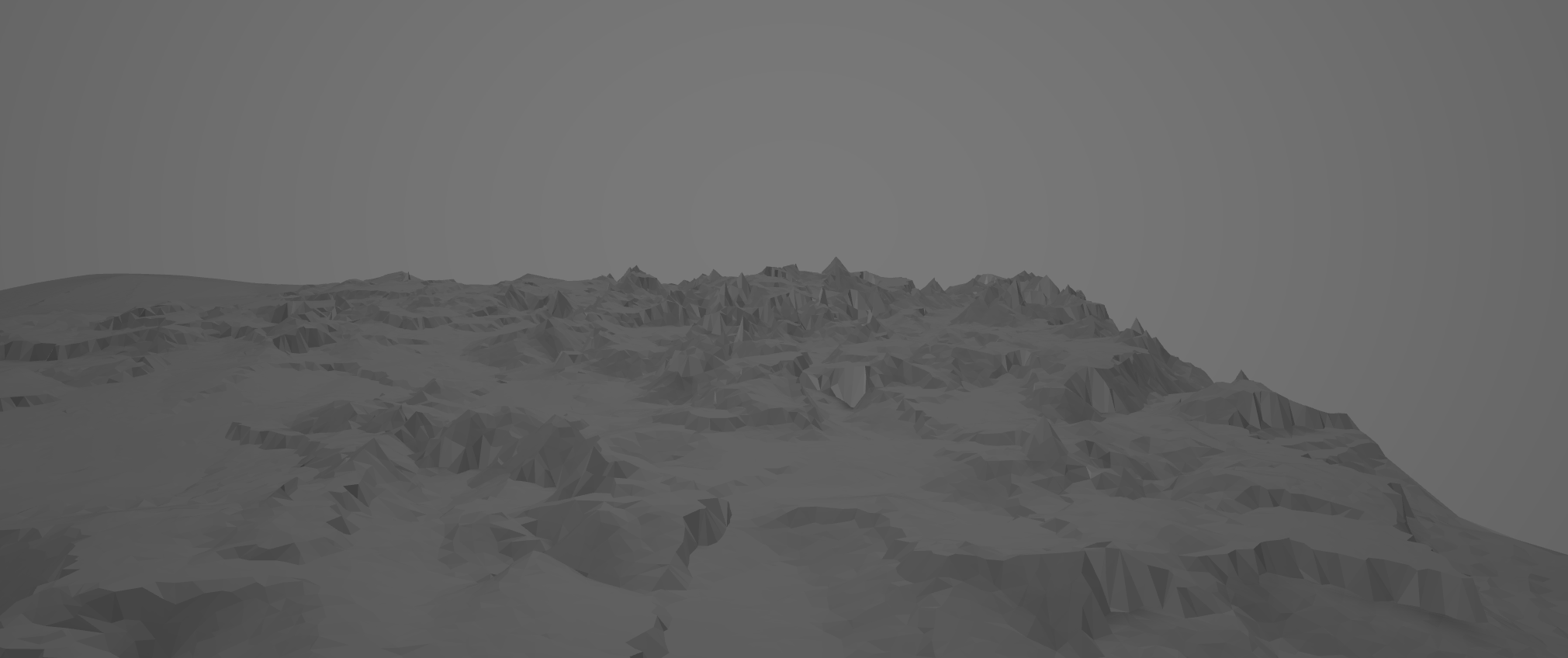
Use Delaunay Triangulationton to generate the mesh. Import to Maya.
-
Use Maya’s smooth tool to smooth the mesh.

